
Places & tours · 17 dossiers in development

What would you like to do today?

Choose the right map view – from Hirschberg and its immediate surroundings to destinations further afield.

Experience & orientation map

31 destinations visible

Large view · Places & tours

Local orientation map

Radius
Categories
Roles

31 destinations visible

Local orientation mapFor the house, town and destinations in the immediate surroundings.

Complete overview

All 17 route dossiers.

The dossiers are grouped by travel mode. Each card opens the corresponding route draft.

0–18 km · 5 dossiers

On foot

Open all 5 in this category →

10–70 km · 5 dossiers

E-bike

Open all 5 in this category →

up to approx. 2 hours · 7 dossiers

By car

Open all 7 in this category →

Three selected routes

Local highlight routes

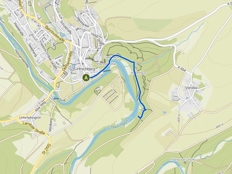
Three routes guide you through Hirschberg’s cultural and natural highlights, with a compact preview in the komoot map.

01 / 03 · On foot

Primeval Forest Trail and Hag

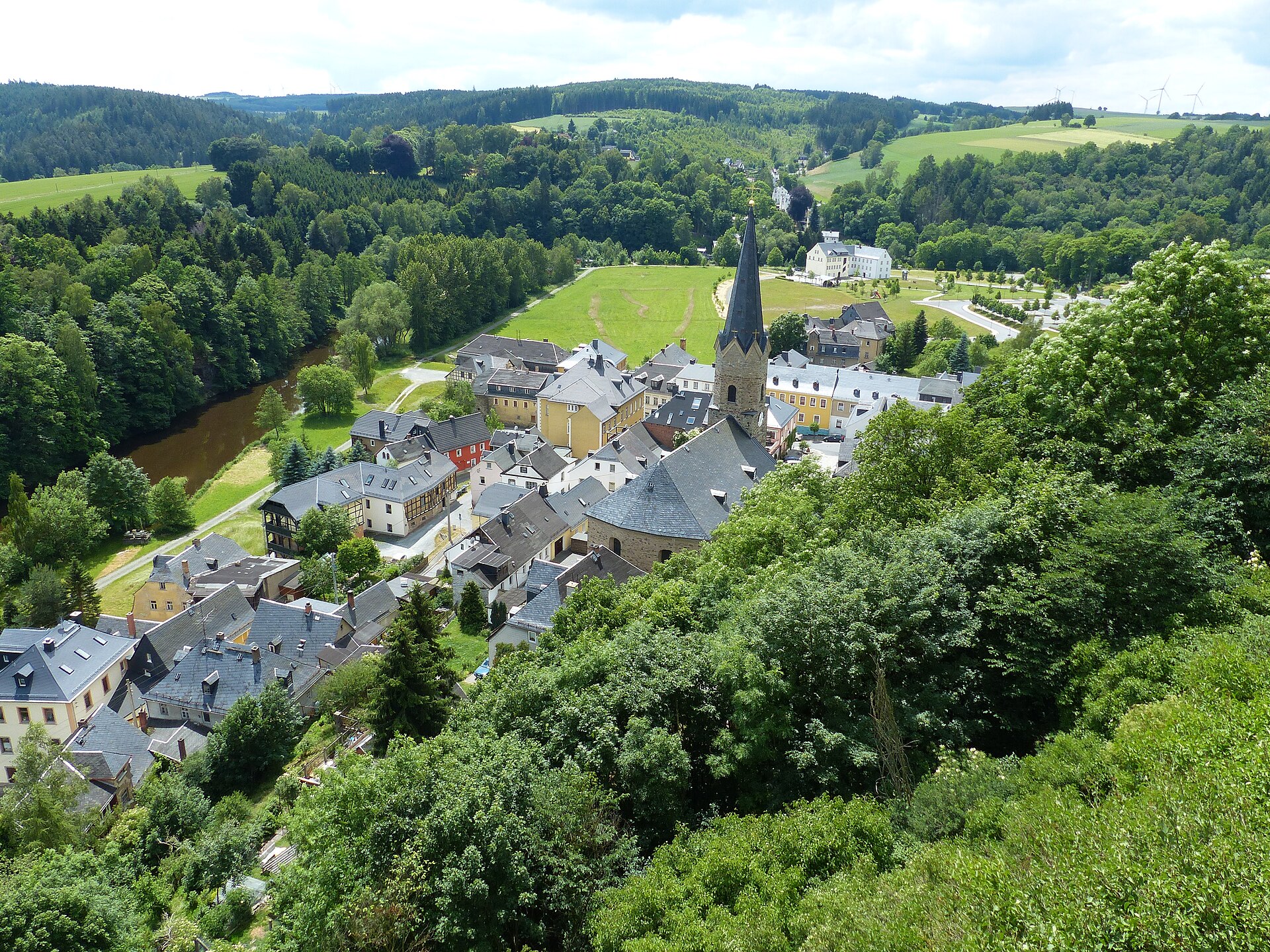
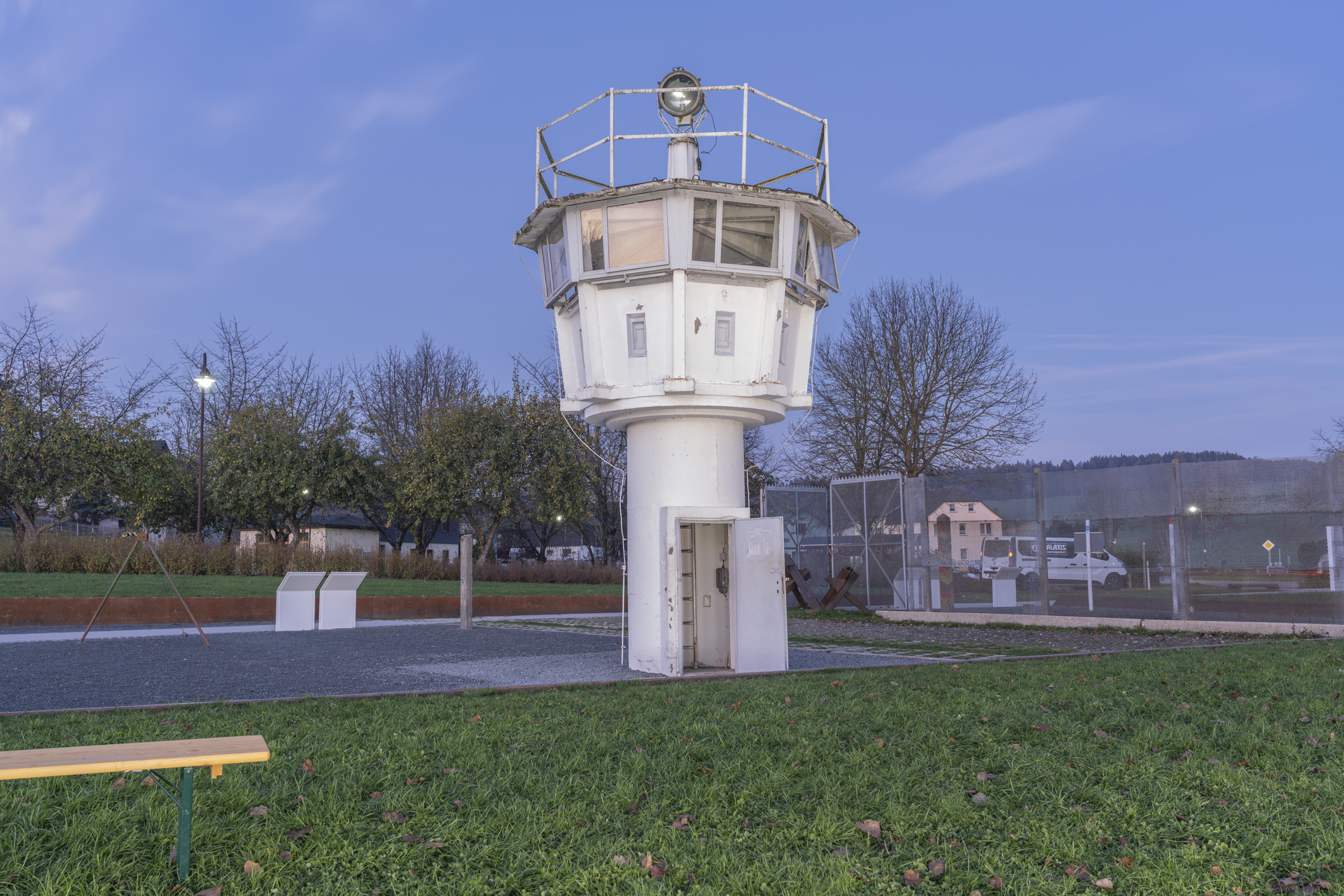
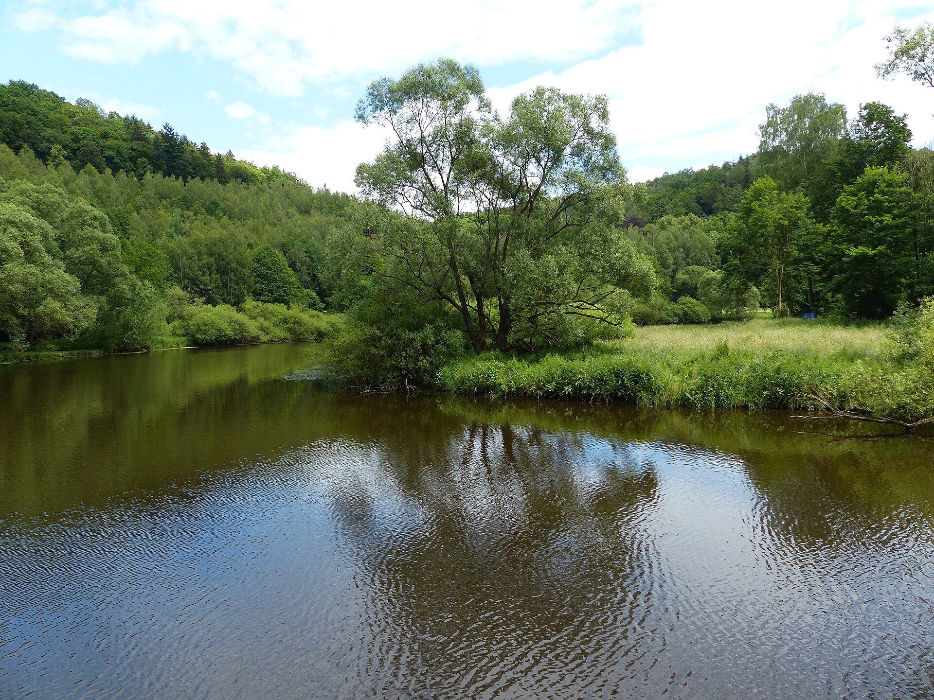
A short loop through the Saale slope, Hag and the Green Belt.

Distance
2.8 km
Time
2 hrs
Mode
On foot
View route
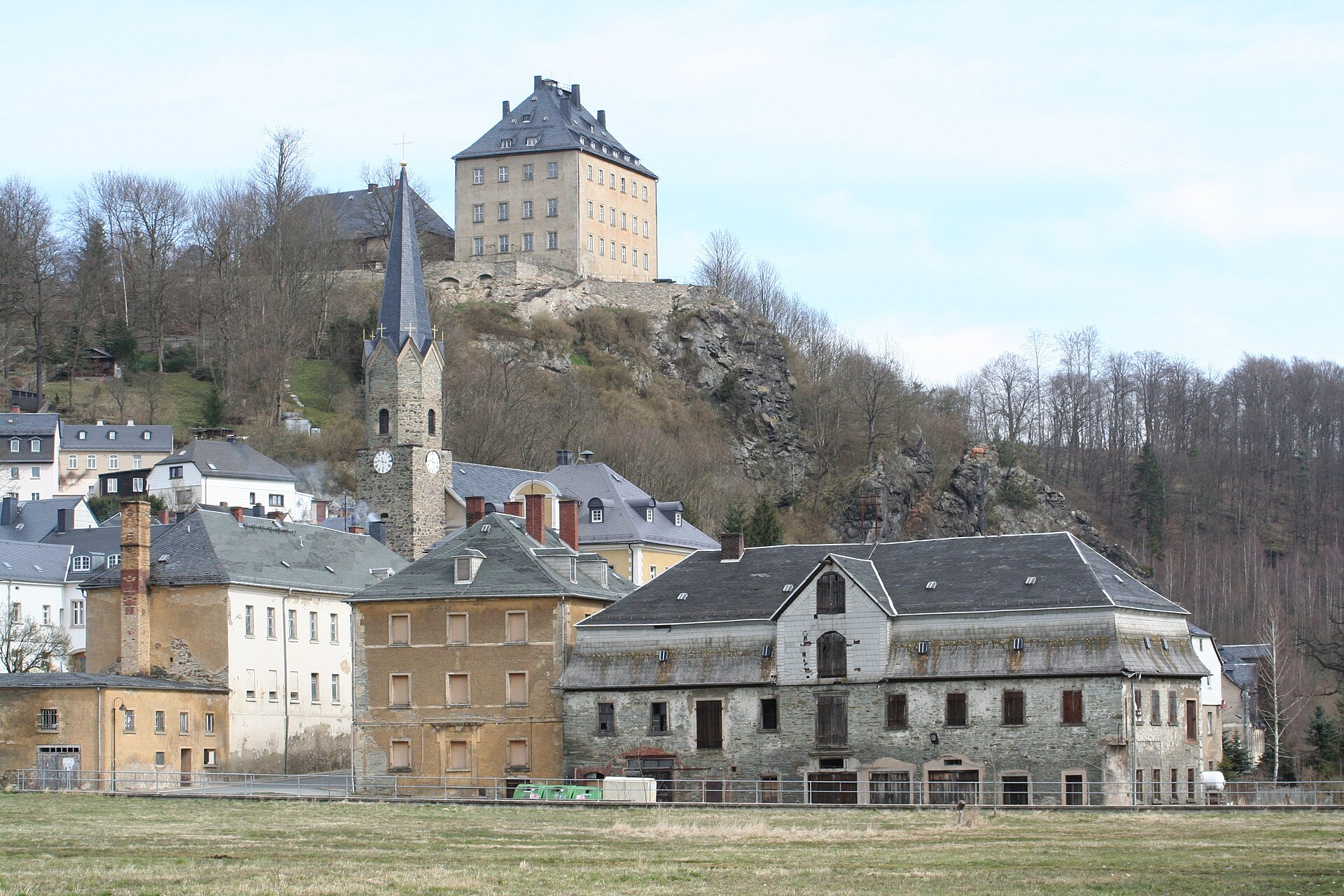
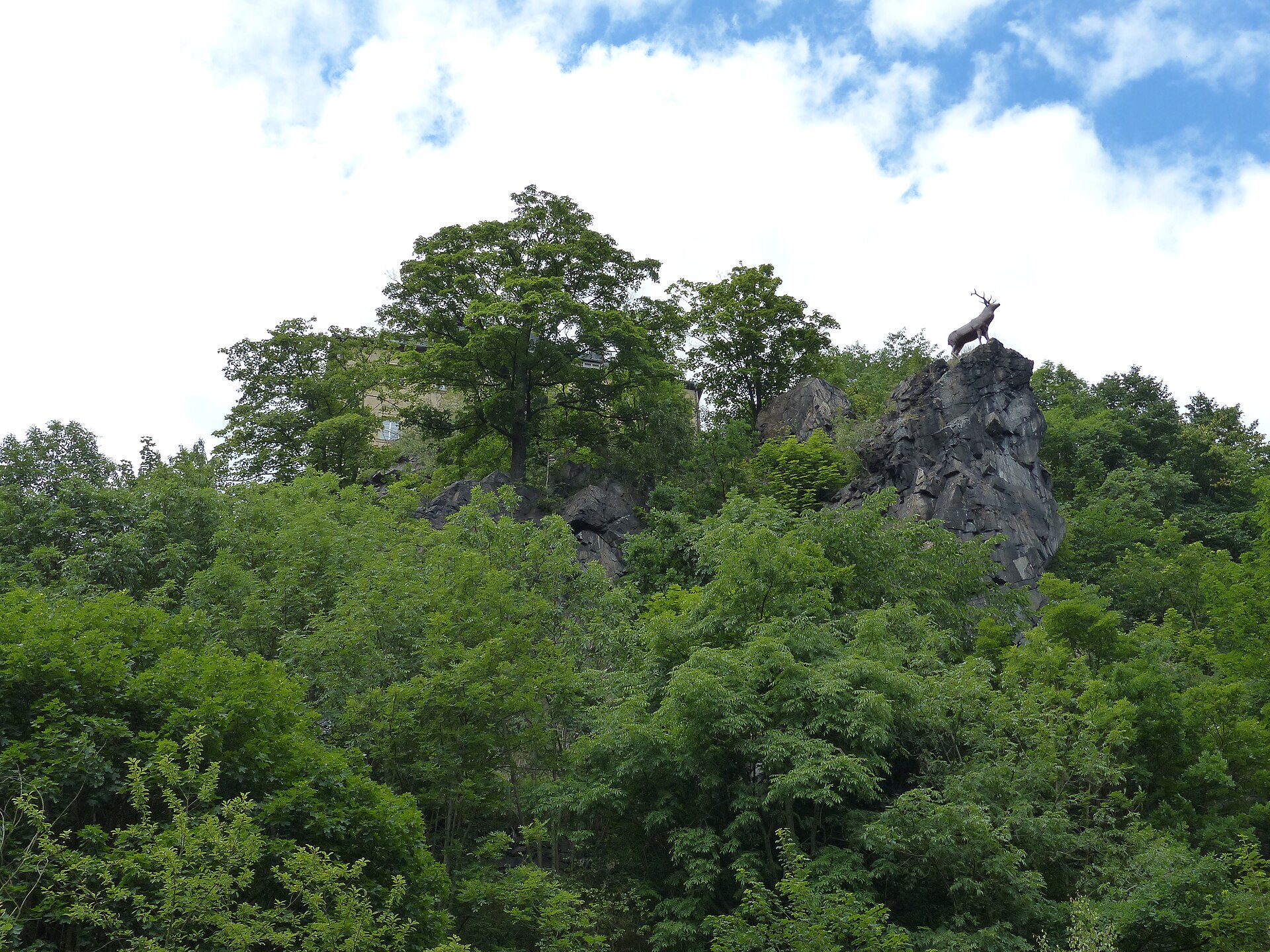
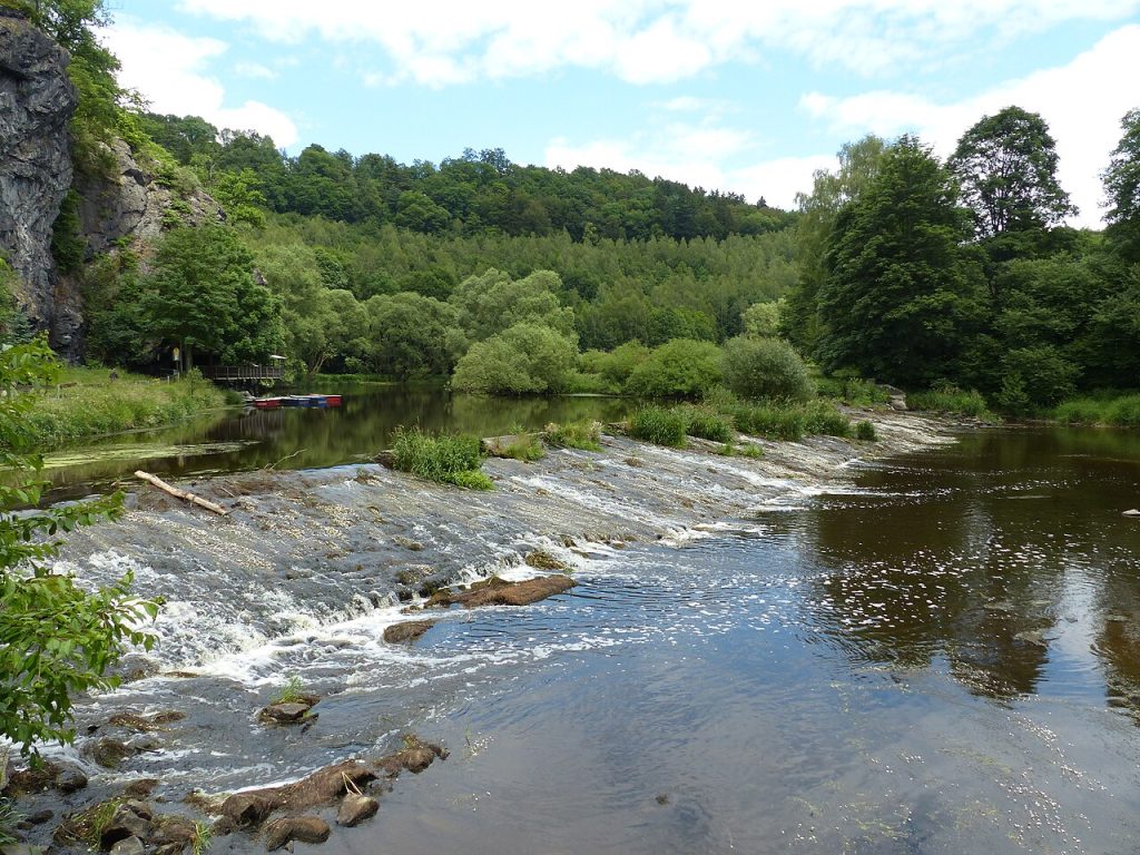
Landschaft am Saalehang bei Hirschberg
01Houseprivate
02E-bike networkpublic
03EV networkpublic

Level 02 · on the road

Two networks. Two reliable starting points.

01

E-bike network

Thuringian Sea & Saale-Orla.

The Saale-Orla district documents a regional public charging network along the Saale cycle route, towns and tourist destinations. Individual points can be found in the official nature-park map by searching for ‘E-Bike-Ladestation’.

Open the nature park experience map ↗
02

EV network

Check public charging points.

The Federal Network Agency map shows registered, publicly accessible charging points and provides radius and connector filters. Private guest points at the house deliberately do not belong on this layer.

Open the Bundesnetzagentur map ↗

Charging overview · public data feed

Charging points around Hirschberg.

The map immediately shows the last valid OpenStreetMap dataset and updates it when the Overpass interface is available. It covers an 80 km radius.

Hirschberg · town centre
Loading map …
E-bikeElectric car

Last available data: 4 Sep 2026 · OpenStreetMap via Overpass API · ODbL

! Before travelling, check the operator app, opening hours, connector and current operating status.