Car
184.0 km · approx. 2 hrs 4 min · Car
Car 06 / 07 · Thuringian objects
Material culture and a path through the treetops
From Hirschberg to the travertine works in Bad Langensalza, with a short city-centre stop and on to the Hainich Treetop Trail.
Route profile
A few concrete details help more than a long checklist. Open points remain clearly marked.
184.0 km · approx. 2 hrs 4 min · Car
The exhibition and material discussion require a confirmed appointment.
Surface, gradients, steps and lower-step alternatives are documented by segment during the on-site test.
The Google Maps route is one way; the return journey is not included.
Surface, gradients, steps and lower-step alternatives are documented by segment during the on-site test.
Tour description
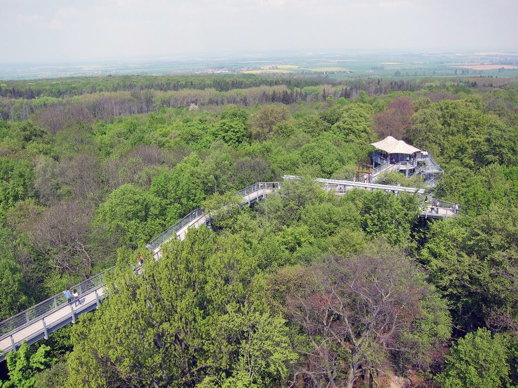
From Hirschberg to the travertine works in Bad Langensalza, with a short city-centre stop and on to the Hainich Treetop Trail. Along the way, TRACO German Travertine Works, Town Hall Fountain / Bad Langensalza Market Square and Hainich Treetop Trail car park come together as a varied day trip. Final destination of the one-way drive at Thiemsburg 1.
Level 06 · Stops
Each stop will have its own picture, 40–70 words, practical notes, audio and a visible verification status at launch.
Start
Ziel 1
Ziel 2
Ziel 3
Set off safely
Editorial verification
The status remains visible without presenting an untested route as a finished guest recommendation.
Charging · E-Auto
Charging at the house is for overnight guests only. On the way, this route points to the official charging map of the Bundesnetzagentur. Availability, opening hours, connector and tariff are checked again before guest release.
Plan charging on the way →A brief note
This website is still taking shape – just like the holiday apartments in Hirschberg an der Saale.