E-bike
15,6 km · approx. 1:22 hrs reine Fahrzeit · nach Wetterlage
E-bike 03 / 07 · Landscape & Saale
A hilly Saale loop to the viewing platform
A hilly circuit with sections along the Saale, a stop at Pottiga’s viewing platform and a return via Moos and Tiefengrün.
Route profile
A few concrete details help more than a long checklist. Open points remain clearly marked.
15,6 km · approx. 1:22 hrs reine Fahrzeit · nach Wetterlage
The komoot route is connected; the surface and rideability will be checked on site before guest release.
Surface, gradients, steps and lower-step alternatives are documented by segment during the on-site test.
Offer a shorter riverside alternative in wet weather or poor trail conditions.
Surface, gradients, steps and lower-step alternatives are documented by segment during the on-site test.
Tour description
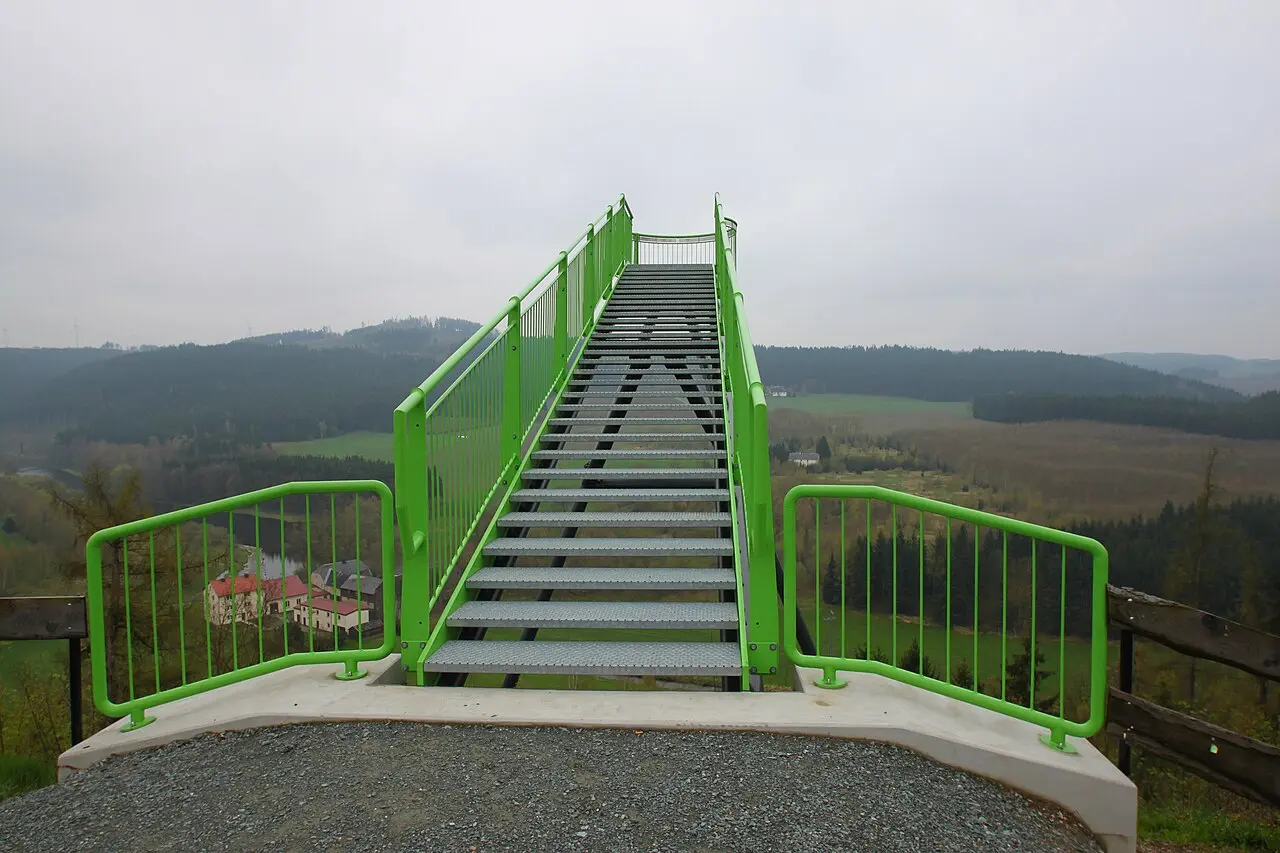
This compact e-bike loop links the banks of the Saale with the hills around Pottiga. At Wachhügel, the route reaches the green viewing platform above the Saale valley before returning to Hirschberg via Moos and Tiefengrün. The course is already available in komoot; individual editorial stops and on-site notes will be added later.
Level 03 · Stops
Each stop is designed to receive an image, 40–70 words, practical information, audio and a visible verification status at launch.
A safe start
Editorial verification
The status remains visible without presenting an untested route as a finished guest recommendation.
Charging plan · E-bike
Charging at the house is exclusively for overnight guests. On the road, this path connects to regional public e-bike charging information. Availability, opening hours, connector and tariff are checked again before guest release.
Plan charging on the road →